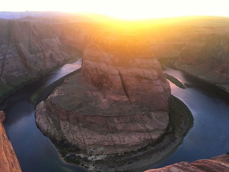
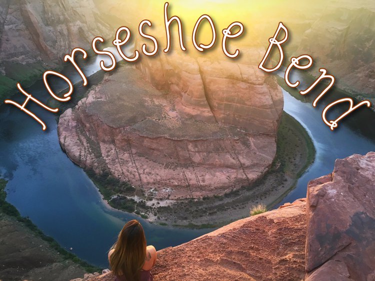
You’ve likely seen images of the infamous horseshoe bend before, a curve in the Colorado River that forms the shape of a horseshoe around a large rock. People travel from across the world to come get a glimpse of this stunning landscape, located in the small town of Page, near the border of Arizona and Utah. On a recent road trip to Utah and Arizona, I had the pleasure of seeing this beauty in person and can say pictures truly don’t do the majestic scenery justice.
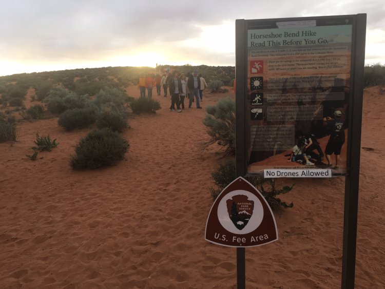
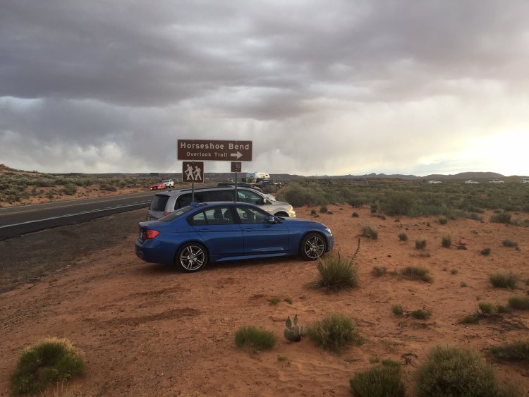
Just five miles from the Glen Canyon National Recreation Area is where you’ll find the trailhead for Horseshoe Bend. The Horseshoe Bend Trail can be easy to miss, however the cars parked on the side of the road will easily give its location away. The trailhead is marked with a sign that says “Horseshoe Bend Hike Read This Before You Go.” The sign covers the basics: such as wearing the proper attire and how to stay safe on the trail. From this sign, the Horseshoe Bend Trail is straightforward and easy to follow.
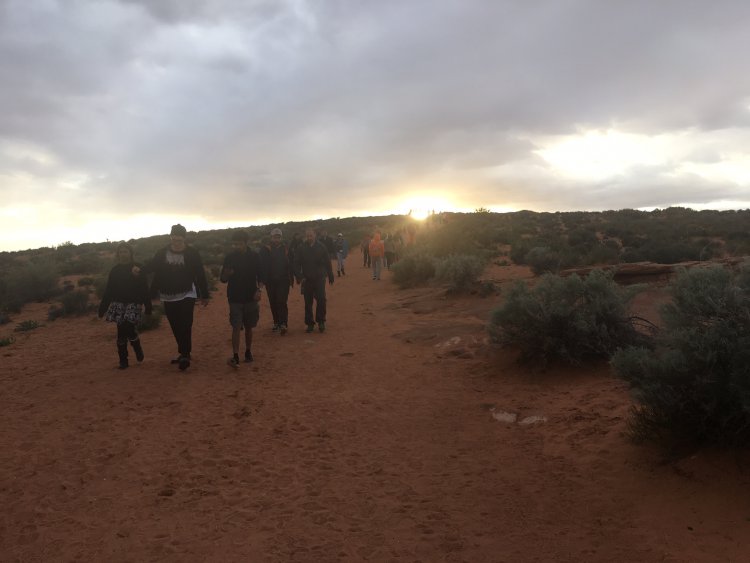
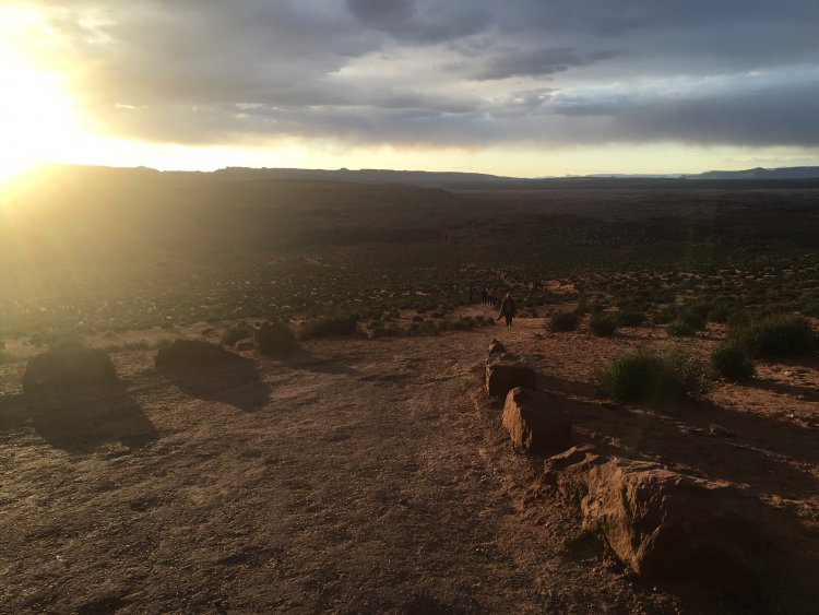
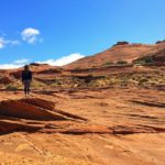
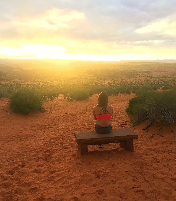
You’ll walk across loose desert sand that gives way to sandstone rocks that date as far back as the early Jurassic period. The first part of the trail is a gentle, uphill climb. At the top of the hill you’ll reach a gazebo area, where you can take a moment to catch your breath or continue downhill for the remaining stretch of the hike to the overlook.
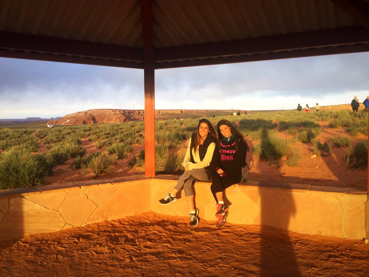
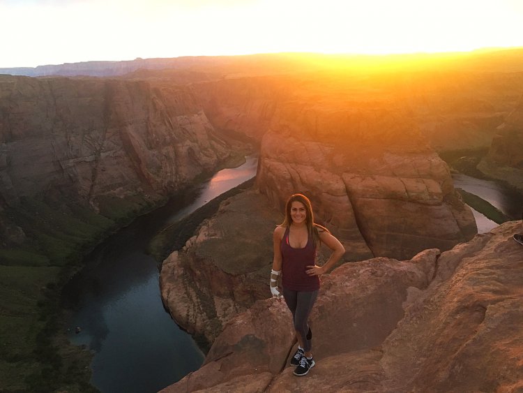
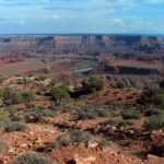
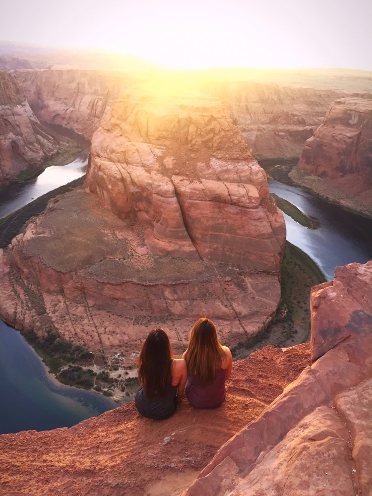
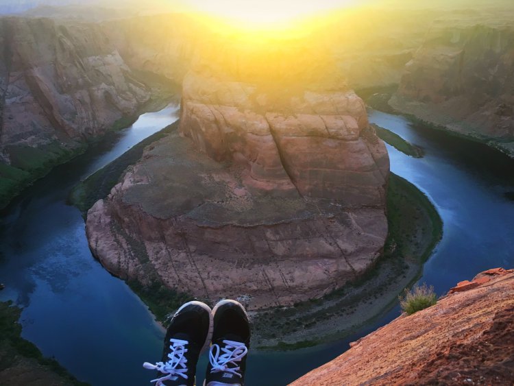
When you reach the overlook for Horseshoe Bend, you’ll be looking down 1000 feet to the river below. Exercise caution when approaching the sandstone rocks. A 32-year-old hiker from Greece fell to his death after standing on a thin sandstone ledge that broke under his feet. Once you are done absorbing the stunning scenery around you, retrace your steps back to the trailhead.
Horseshoe Bend Trail Tips
Tip #1: For photographers: don’t forget to bring your tripod and wide angle lens to capture great photos.
Tip #2: Visit the nearby Antelope Canyon during your visit to Page. Please note that reservations are required to hike Antelope Canyon.
Tip #3: There are no guard rails at the view point. Exercise caution when posing for pictures.
Tip #4: Dogs are permitted here but must be on leashes no longer than six feet.
Tip #5: Wear sunglasses, sunscreen, and a hat and avoid hiking during the warmest parts of the day. This trail is unshaded.
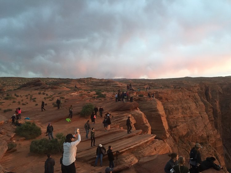
Tip #6: If crowds aren’t your thing you’ll have to suck it up for this hike. This hike is packed with people most days of the week, particularly mid-day and sunset.
Driving Directions
The Horseshoe Bend Trail is south of Page. From the Glen Canyon Dam on US-89 head south for 5.1 miles. At around 5 miles from the Glen Canyon Dam, you’ll see a sign for Horsehoe Bend Overlook. Turn right into parking area.
If coming south, take US-89 north to Page and before entering town you’ll see a Horseshoe Bend Overlook sign. Turn left into the parking lot.
Difficulty: Easy
Total Distance: 1.5 miles
Trailhead address: Hwy 89 – Four Miles South of Page, Page, AZ 86040
