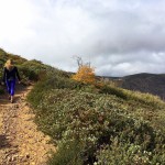
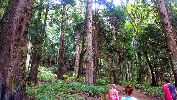
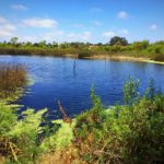
There are some pictures I go to edit and realize not a thing needs to be altered. This is largely the case anytime I look back on my pictures from the Pacific Northwest. While scrolling through some of my favorite hiking memories I came across a few pictures of the Grizzly Peak Trail which runs along the Pacific Crest Trail. The clear blue skies, abundance of trees, and picturesque greenery forced a wave of nostalgia and wanderlust to sweep over me. While I dream about being back along the Pacific Crest Trail, I want to share with you one of my favorite parts of the trail – Grizzly Peak Trail.
Grizzly Peak Trail, which runs along the long-distance Pacific Crest Trail, takes you through fabled alpine meadows and along Lake Janus. The trail is long, clocking in a distance of 16 miles with 3,400 feet of elevation gain however it is not necessary to go all the way to Grizzly Peak. The gorgeous views of the evergreens and Lake Janus offer enough beauty to cut this trip into a shorter yet still enjoyable one, if you choose to do so.

The trailhead begins at the Smith Brook Trail. Follow this trail for 1 mile to the Pacific Crest Trail (PCT) at 4,700-foot Union Gap. You will descend about 700 feet into the Rapid River Valley avoiding Union Peak’s steep boulder slopes. You will begin climbing uphill again, traversing a boulder field to emerge on a forested flat harboring patches of blueberries and a fantastic view of Lake Janus.

Continue north on the PCT to cross Janus’s outlet creek, the last guaranteed water source along the Grizzly Peak Trail. The trail then climbs steadily and weaves back and forth along the Cascade Crest where you will encounter a 5,200-foot gap with a jaw dropping view of the jaw-dropping alpines ahead. Labyrinth Mountain, the Poet Ridge and Glacier Peak – Washington’s 4th larges summit and Snohomish County’s highest peak – can be observed here as well.
Hike a half mile beyond the gap to reach an overhanging ledge offering views straight down to Glasses Lake. A little farther, gaps in the forest will unveil Margaret Lake lying beneath the west side of crest.

You will need to ascend uphill again, trekking between heather meadows and groves of mountain hemlock.
1,200 feet below, Heather Lake will appear before you. Follow the switchbacks to climb steeply up open slopes that providing breathtaking views of Mount Rainier.
At the end of your 8-mile journey you will reach the top of the 5,597-foot summit of Grizzly Peak. Cascading flowering meadows unroll northward, encouraging you to hike forward all the way to Glacier Peak. However, with another 8 miles to go to return back to the trailhead you may call it a day and decide to just bask in the boundless beauty before you.
Grizzly Peak Trail Tips
Tip 1 : No parking pass is needed and parking is generally not difficult to secure as long as you arrive before 10:30 a.m. on weekends.
Tip 2 : Plan a hiking adventure. With beautiful Lake Janus nearby, you can make this a multi-day adventure and camp near the lake.
Tip 3 : Look out and avoid manure from stock animals on the trail.
Tip 4
: Hike with a friend and exercise caution. Black bears have been spotted by hikers before along this trail, particularly near the end of the trail before turning back around.

Rock Trail Difficulty: Moderate to strenuous
Rock Trail Total Distance : 16 miles
Trailhead Address : Stevens Pass – Natl Forest Develop Road 6700 Rd., Leavenworth, WA
Trailhead Coordinates
:
47.8023, -121.0772

Driving Directions: From Everett, head east on US 2 to Stevens Pass. Continue east for another 4.0 miles and turn left onto Smith Brook Road (FR 6700) when the highway divides. (From Leavenworth, reach the turnoff in 30 miles.) Continue 2.8 miles to the trailhead.


 Rattlesnake Ridge Trail | North Bend, WA
 Rock Trail Larrabee State Park | Bellingham

