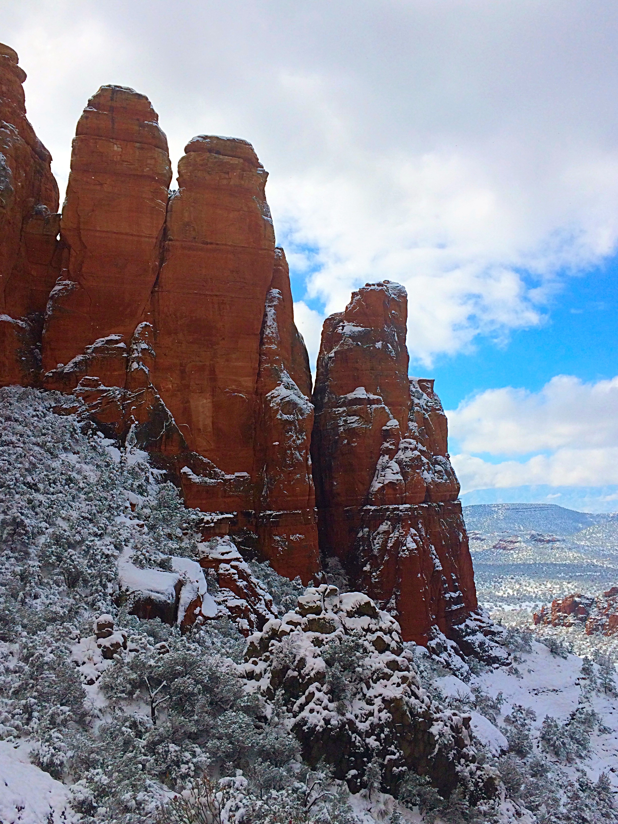
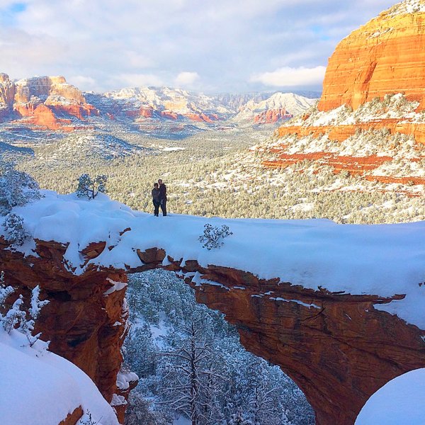
Two words, one epic hike everyone should take: Devil’s Bridge . Located in the immensely beautiful town of Sedona, Arizona, Devil’s Bridge is the largest natural sandstone arch (54 feet tall) in the Sedona area. In fact, I traveled to Arizona just to complete this hike (while it was snowing!) after seeing my friend’s enviable picture of the trail on Instagram.
Don’t let the name fool you; this heavenly sight is something you don’t want to miss.
In warmer months the main Devil’s Bridge trailhead can be accessed by driving down Dry Creek road to make this a 2 mile roundtrip jaunt; however this is only accessible to larger 4WD vehicles. The last bit of the road leading to the trailhead has large pot holes, so a midsize car wouldn’t cut it even if it had 4WD. This entrance was closed when I went in winter and all vehicles had to park on Long Canyon Road.
2WD parking is 1.1 miles away from the main trailhead and provides an alternate starting point at the Long Canyon Trailhead, from a recently created path known as the Chuckwagon Trail, connecting with the Devil’s Bridge trail. This trail has very little elevation gain, is mostly level, provides scenic views and you can avoid the dust and noise from ATVs zooming along Dry Creek Road.

Alternatively, instead of taking the Chuckwagon Trail you can also walk along Dry Creek Road for about one mile, however, this path is less scenic and you need to be wary of jeeps/ATVs plowing down the road.

Trekking down Dry Creek Road
Once you get to the main Devil’s Bridge trail, there is a mere 400 foot climb in altitude during this moderately difficult trek, meaning the journey to the top won’t leave you breathless. However, the views you witness at the top may!

Along the wooded trail
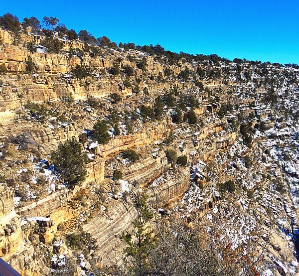
The main trailhead starts in a wooded area and takes you up and down small includes and across dried out river beads. Follow the cairns of rocks to stay on course as there are a few areas along the trail that weren’t clearly marked. The trail splits about ¾ a mile up offering you two options. If you veer to the right at the split you will climb a rock staircase that leads to the top of the arch. If you veer to the left the trail goes beneath the arch. I’d recommend doing both to take in this truly spectacular sight from multiple vantage points.

View from beneath the arch
Devil’s Bridge Tips
Tip 1 : Devil’s bridge is one of the most popular hikes in Sedona. One yelper reported seeing 200 people during midday in the spring. If you are looking for solitude, this hike isn’t for you.
Tip 2: It may look terrifying to cross the bridge however it is about 5 feet across and 45 feet long, not quite as daunting as it appears.
Tip 3 : Soak in the sweeping views from the top and then head down and get a view of the arch below. A short path leads to underneath the bridge where the trail splits.
Tip 4 : Start this hike early because it gets packed! Luckily we went in the winter when it was snowing like the crazy avid hikers that we are but during non-snowy parts of the year flocks of hikers come to check this arch out.
Tip 5 : Parking is free!
Tip 6
: Bring a lot of water and plenty of sunscreen, especially if you will be journeying midday or during the warmer summer months.

History Note : Its name can be deceiving as the formation is an arch rather than a bridge – created by wind and weather erosion and not by flowing water
Difficulty : Moderate
Total Distance : 2 miles round trip from the Devil’s Bridge parking area. 4 miles roundtrip from the parking area on Long Canyon Road. 6 Miles roundtrip from the Dry Creek Vista parking area.
Trailhead address: Dry Creek Rd., Sedona, AZ 86336
GPS
:
N34° 54′ 10.26″, W-111° 48′ 49.716″

