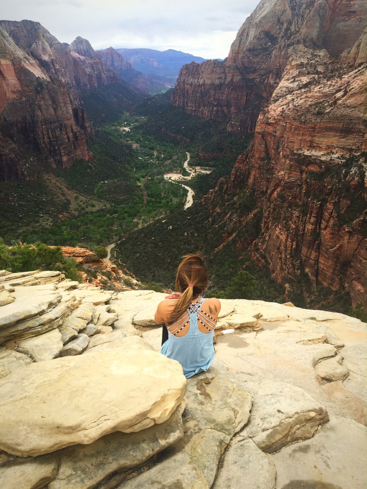
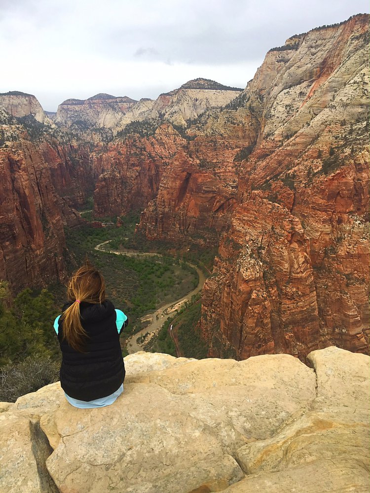
There are few hikes out there that have moved me enough to cry at the sheer beauty surrounding me. Angels Landing is one of those hikes. Not only is the risk entirely worth the reward, when you do finally get to Angels Landing, the views from the top are truly stunning and can’t even be captured with the best camera.

Angels Landing is the most popular hike in Zion National Park despite its difficulty, and for good reason. If you don’t have a fear of heights, Angels Landing is the perfect trail for seasoned hikers to challenge themselves. The trail takes between 3-6 hours to complete, but the views from the top make it worth the time and energy.
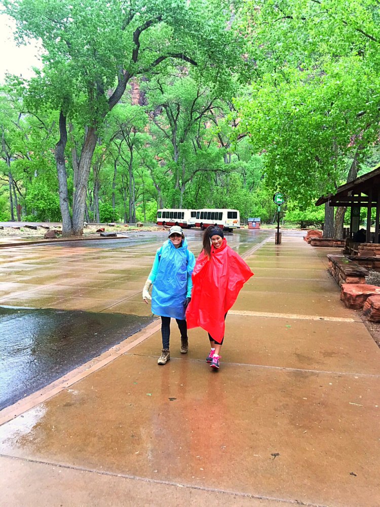
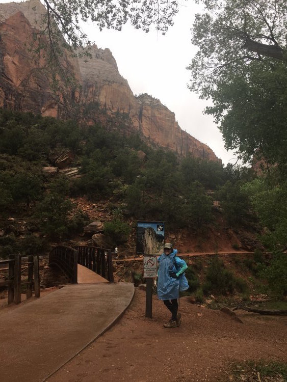
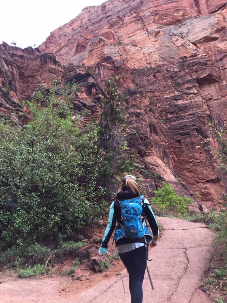
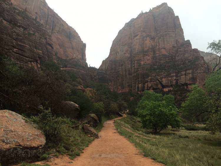
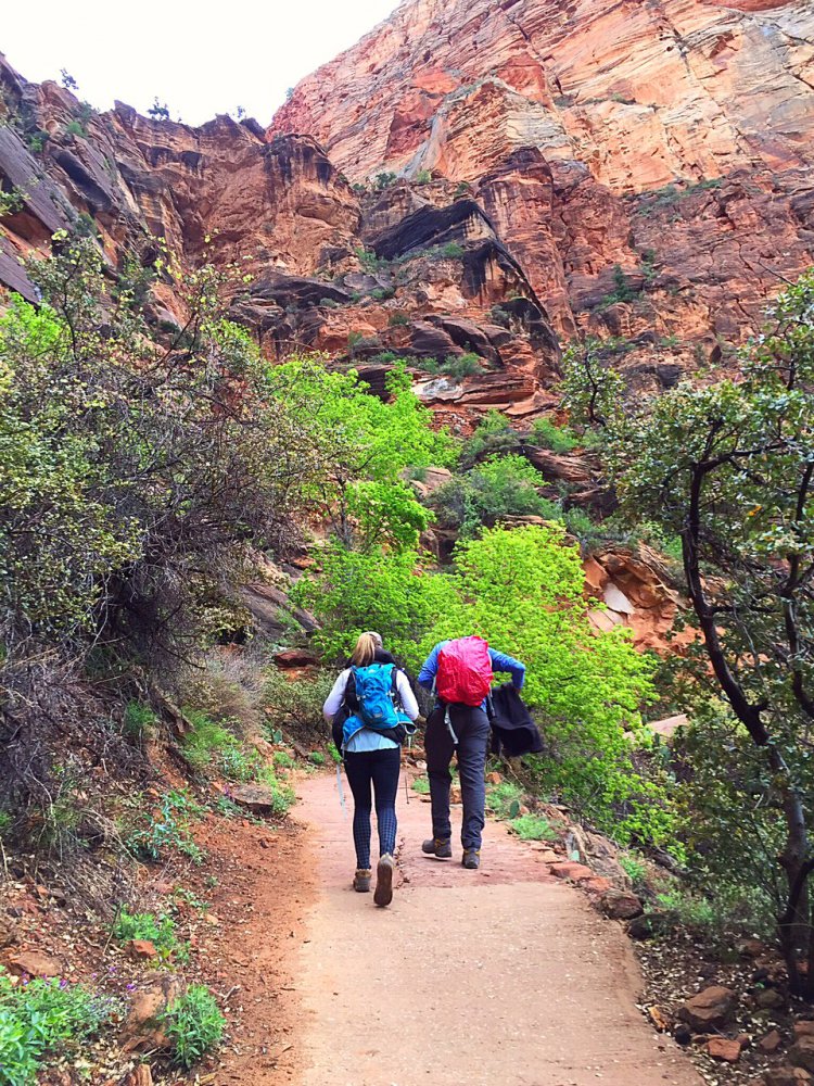
From the Visitors Center, hop on the Zion Canyon Shuttle to the 6th stop for the Grotto Trailhead. From the shuttle stop, cross the street and cross the bridge over the Virgin River. The paved trail takes you up the west side of the canyon through a series of steep switchbacks. These 21 constructed switchbacks are named Walter’s Wiggles after Zion’s first superintendent, Walter Ruesch.
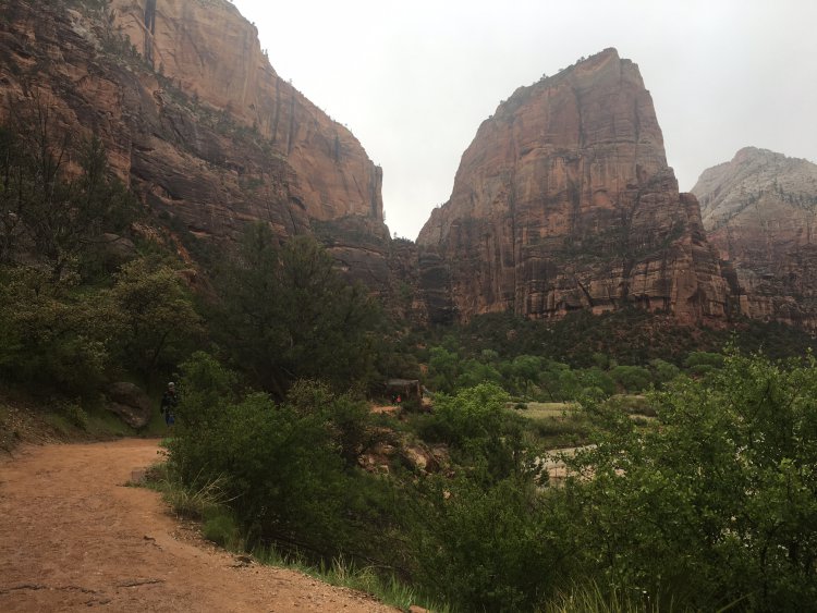
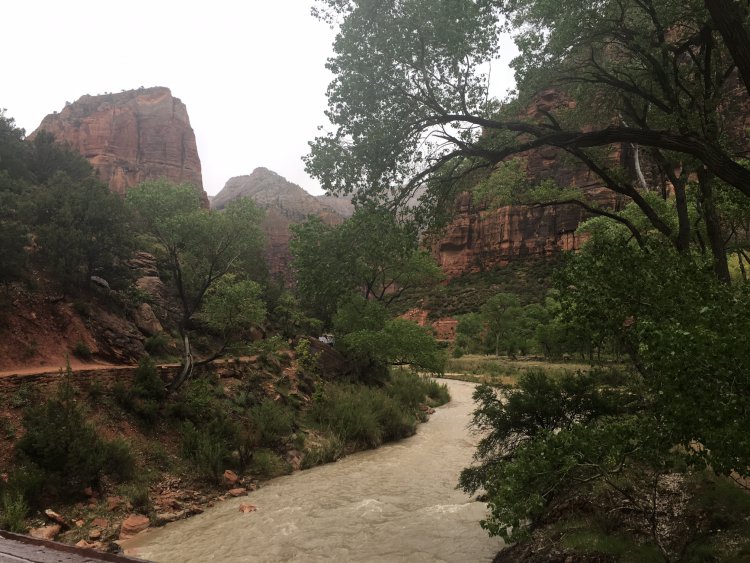
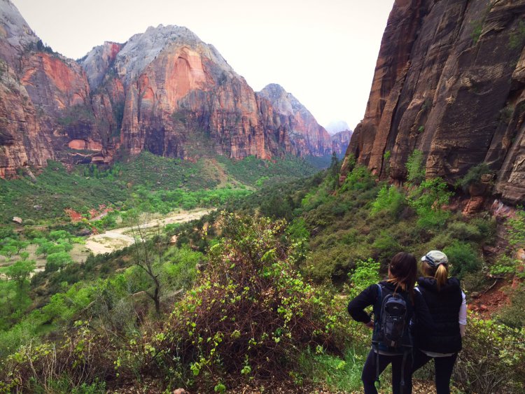
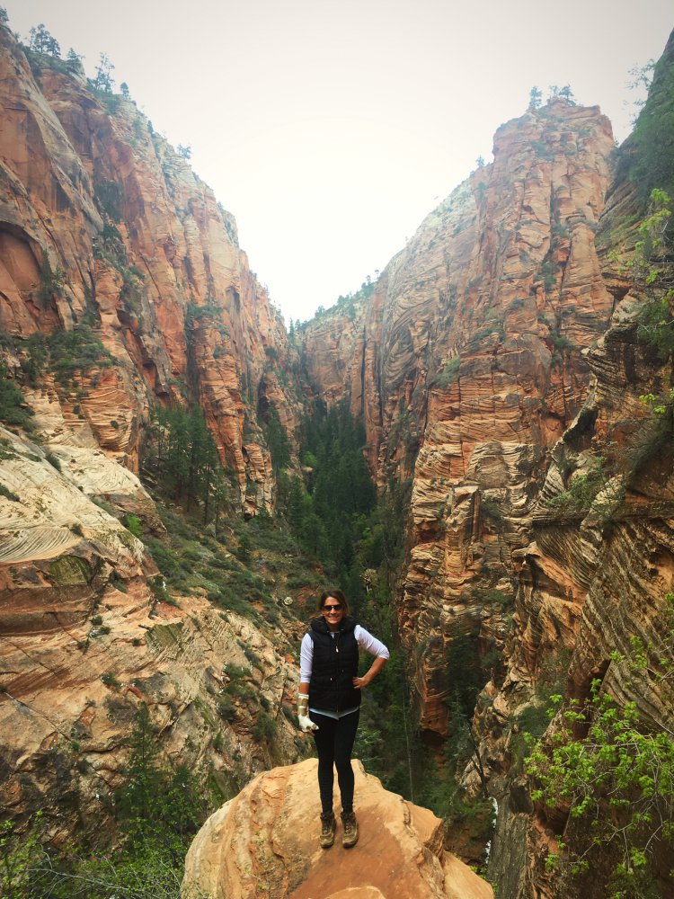
At the top of the switchbacks you’ll come to a sandy area. This area is known as Scout’s Lookout—a nice place to stop for those afraid of heights. Here you can still get great views of the main canyon below without having to climb the cables. However, if you are feeling up to the challenge the last 0.5 miles of the trail require grasping onto chain cables and walking on the narrow spine of the mountain. There are parts of this section where you will be able to look down both sides of the canyon—both exhilarating and terrifying at the same time.
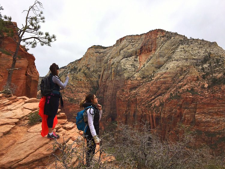
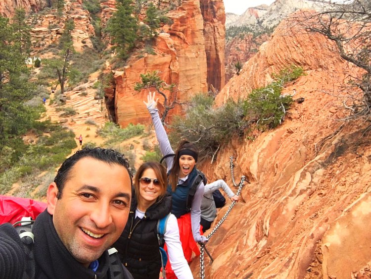
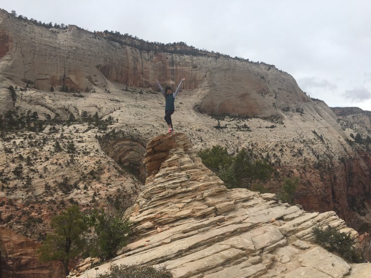
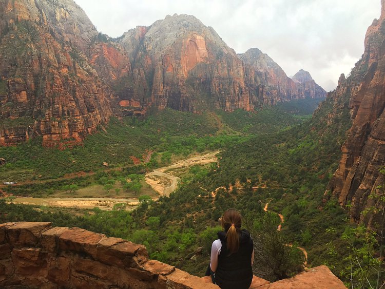
Chains, carved steps, and a brave heart will help you conquer the final 500 feet of elevation gain to Angels Landing. From the top you’ll see quite a few of Zion’s landmarks including the Virgin River, Big Bend, the Organ, Cathedral Mountain, Observation Point, and Cable Mountain. The views of both sides of the canyon are truly spectacular and one can only fully understand the beauty by seeing it in person. Once you’ve taken your fair share of photos, re-trace your steps back downhill to the trailhead. In my experience the way back down was far less intimidating than heading up.
Warning : Angels Landing is not only a strenuous trail but also dangerous. Inexperienced hikers, those afraid of heights, or people who experience altitude sickness should not partake in this hike. Since 2004, a half a dozen hikers have died on this hike. Angels Landing is no joke!
Angels Landing Tips
Tip #1: This hike is not for those who are afraid of heights. The last 0.5 miles of this trail require grasping cables to get to the top of Angels Landing with posted signs warning of deaths that have taken place here.
Tip #2: Due to the technicality of this hike, children should not be brought on this hike for their safety.
Tip #3: Start this hike early. Not only will less people be on the trail but you will also allow yourself more time to take pictures and enjoy the scenery without feeling rushed.
Tip #4: Wear appropriate attire. The majority of this trail is exposed with little shade. Wear sunscreen, light layers, and a wide-brimmed hat.
Tip #5: Be mindful of other hikers, especially on the cables. One wrong step and you could lead to a serious injury or death.
Tip #6 : Early morning or late afternoon are the best times of day to capture truly stunning pictures on this hike. Just pay mind to not go too late to ensure you get down the cable portion of the trail before it gets dark.
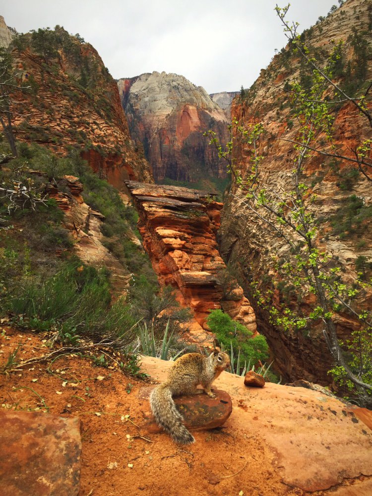
Tip #7: You’ll see plenty of squirrels and chipmunks along this trail. Although they are cute you should not feed these animals as it is not good for their digestive system and you can get slapped with a $100 fee.
Driving Directions to Zion National Park
From the North: Travel I-15 south, past Beaver. exit on Hwy 20. Follow US-89 to Mount Carmel Junction . Take SR-9 to Zion’s east entrance.
From Arizona: Travel US- 89A through Fredonia, Arizona and Kanab, Utah. Follow US-89 to Mount Carmel Junction. Take SR-9 to the east park entrance.
Difficulty: Strenuous
Elevation Gain: 1,500 feet
Total Distance: 5 miles
Trailhead address: SR 9, Springdale, UT 84767
